Owner Pays
Ownership: Individual
Parking
Parking Total: 0, Carport Spaces: 0, Offstreet Spaces: 0, Reserved Spaces: 0, RV Spaces: 0, Parking Count: 0
Property Access
Road Frontage Type: "Public", Road Responsibility: "Public Maintained Road", Road Surface Type: "Dirt"
Disclosures
Exclusions: Current crops, mineral rights
Water Features
Water Mineral Rights: Seller Retains Mineral Rights
Home Owner's Association
Association Fee Total Annual: $0, Association Fee Annual: 0.00, Association Fee 2 Annual Expense: 0.00, Association Fee 3 Annual Expense: 0.00
Lot
Acres: 37.93, Area: 37.93, Parcel Number: 0155711400004, Square Feet: 1652230.8
Miscellaneous
Horse Amenities: "Well Allows For"
Property
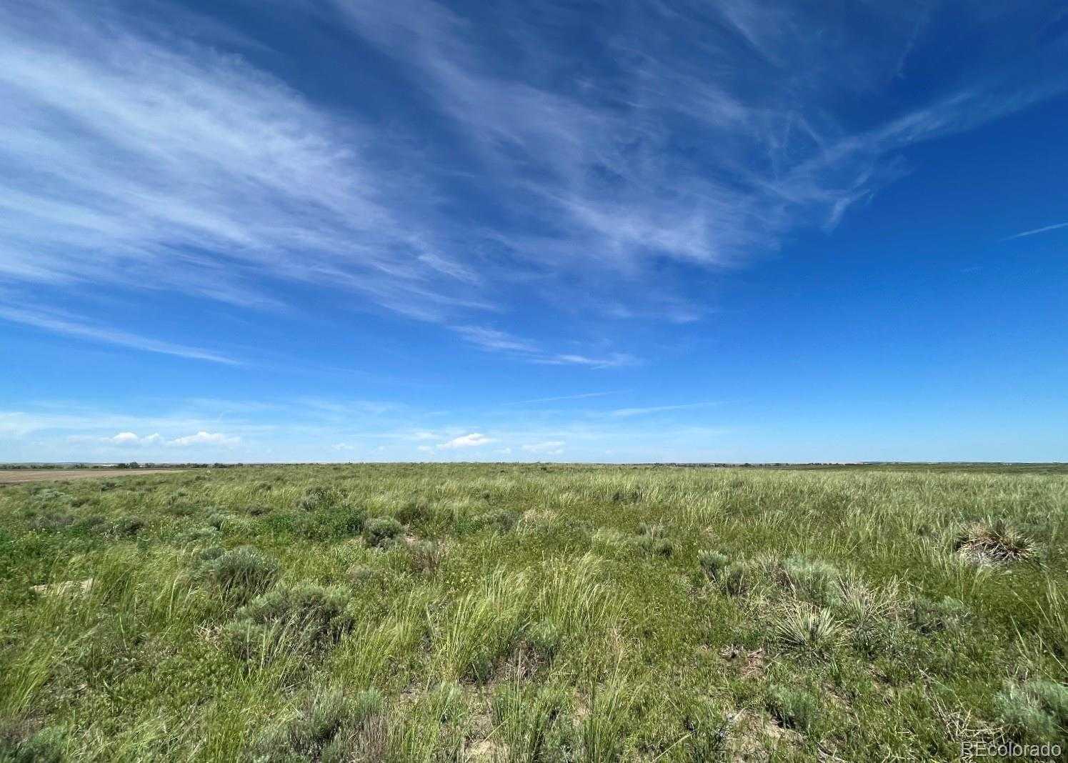
Current Use: "Agricultural", "Vacant", Out Building Count: 0, Possible Use: "Agricultural", "Hunting", "Livestock", "Residential", "Vacant", Property Sub Type: Unimproved Land, Vegetation: "Crop(s)", View: "Meadow", "Mountain(s)", "Plains", Well Type: Not Drilled, Well Usage: Domestic, Household w/Livestock, Zoning Jurisdiction: County, Zoning: A-3
Sewer
Sewer: "Septic Tank"
Taxes
Annual Amount: 46, Legal Description: SECT, TWN, RNG:11-1-60 DESC: A PARCEL OF LAND LOCATED IN THE SE4 OF SEC 11 DESC AS FOLS CONSIDERING THE E LN OF THE SE4 OF SD SEC 11 TO BRS S 01D 51M 34S E BEING MONUMENTED ON THE N END BY A 3/4 REBAR WITH 3 1/4 ALUMINUM CAP PLS 37971 AND ON THE S END BY A 3/4 REBAR WITH 2 ALUMINUM CAP PLS 25937 WITH ALL BRNG CONTAINED HEREIN RELATIVE THERETO COMMENCING AT THE CEN4 COR OF SD SEC 11 TH S 01D 54M 43S E COINCIDENT WITH THE W LN OF THE SE4 OF SD SEC 11 A DIST OF 1303/84 FT TO THE POB TH CONT S 01D 54M 43S E COINCIDENT WITH SD W LN A DIST OF 651/92 FT TH S 89D 41M 17S E A DIST OF 2601/49 FT TO THE W ROW LN OF MIMOSA RD TH N 01D 51M 34S W COINCIDENT WITH SD W ROW LN A DIST OF 605 FT TH N 88D 39M 26S W A DIST OF 2604/29 FT TO THE POB 37/51A, Tax Year: 2021
Utilities
Power Production Count: 0, Utilities: "Electricity Available", "Electricity To Lot Line", Water Source: "Well"